Follow the water from the Sierras to Mar Chiquita and the Paraná.
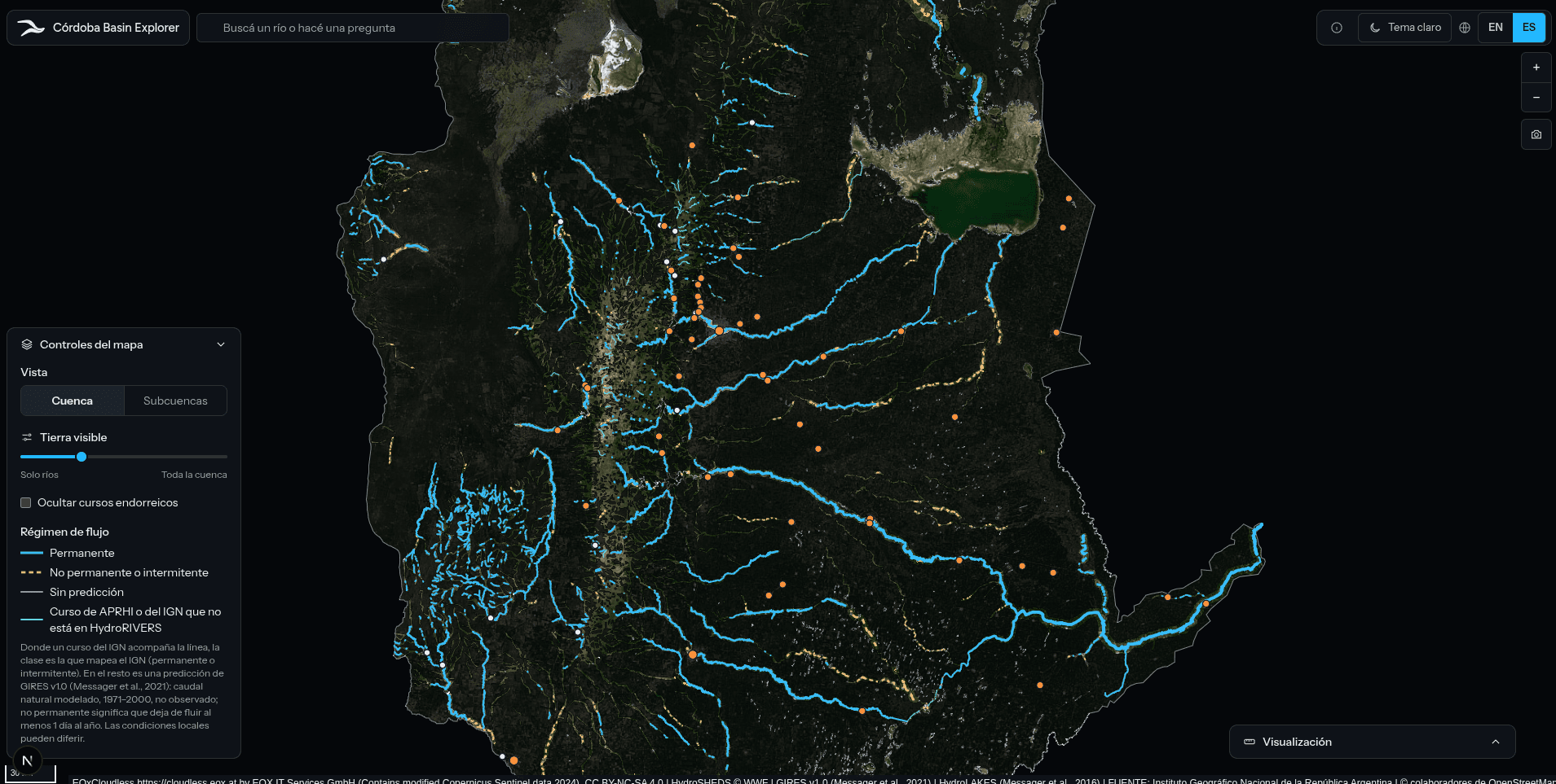
Explore the rivers of Córdoba, from the Primero and Segundo to the Tercero, Cuarto and Quinto, their streams and basins on satellite imagery.
- APRHI
- IGN
- HydroRIVERS
- HydroATLAS
- HydroBASINS
- EOxCloudless
One basin, three ways in.
Rivers & tributaries
Select any stream for its length, source and mouth elevation, Strahler order, discharge and more.
Sub-basins
Switch from the whole region to its six basins, then drill into sub-basins and water management units with breadcrumb navigation.
Visible land
Slide from rivers only to the whole basin, revealing the satellite imagery around the water.
Data & transparency
Modeled, not measured.
Built on HydroRIVERS, HydroATLAS and HydroBASINS, with IGN data for Argentine watercourses.
Discharge is a modeled natural average for 1971–2000 and does not reflect current regulation by dams such as Embalse Río III, Los Molinos, San Roque and Cerro Pelado. Population is a 2010 estimate.
Attributions →